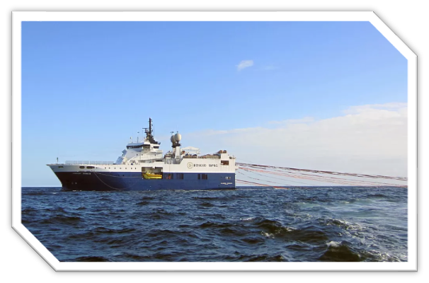
In the West Absheron area, we successfully completed 3D cable seismic exploration surveys aimed at a high-resolution evaluation of the region’s hydrocarbon potential. The project marked a milestone in the geological history of Azerbaijan, as it was the first seismic exploration program conducted on a continuous 24-hour operational basis.
The project utilized conventional high-density cable-based seismic acquisition systems. Data acquisition and recording were carried out continuously through day and night shifts, ensuring uninterrupted operations and improved overall efficiency. Throughout the project, strict quality control procedures were implemented, with strong emphasis on health, safety, and environmental protection.
The acquired 3D seismic data enabled detailed imaging of complex fault systems, structural traps, and stratigraphic features. The project results provided a robust foundation for subsequent geological and reservoir modeling and supported informed decision-making for future exploration and field development activities in the West Absheron area.